You are here:

GEOSPATIAL

What’s your geospatial challenge? We’ve uncovered hidden cities in Cambodia, monitored Canadian LNG projects from the ground to corporate offices in real time, and created crowd-sourcing apps to help improve neighbourhoods. Working with you, we develop custom solutions to turn your maps and data into comprehensive landscapes of valuable insights.

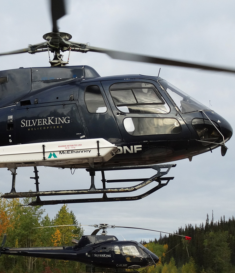
Our state-of-the-art tools allow us to gather your data in cutting-edge ways; we use drones, LiDAR, laser scanners, and other high-definition survey equipment to be the eyes in the sky, on the ground, and below the water’s surface. And when we combine your data with our years of experience and spirit of exploration, we create data insights so you can drive change. Finally, we communicate your data insights using spatial tools, 3D models, and visualization tools like virtual and augmented reality (VR and AR) so you can influence decision making effectively.

GIS & Spatial Analysis

GIS technology allows us to improve our decision-making, create cost savings for clients, and manage projects with accuracy. Along with our GIS software, we can better understand the spaces where we work and answer questions with confidence. Based on project scope, we provide our expertise to identify challenges and solve problems by creating intuitive project data management solutions.

Our partnerships with both ESRI GIS mapping software and FME geospatial software differentiate us in the industry and equip us to provide leading-edge results on every project.

Services and project applications include:

  • Asset collection and management
  • Building Information Modeling (BIM)
  • Change detection
  • Crowd-sourcing app development
  • Drainage / hydrology
  • Field conditions assessments
  • Indoor wayfinding
  • Integrated site plans
  • Land use maps
  • Mobile GIS (Field Maps, ArcGIS Survey123, Quick Capture)
  • Pile / pit volumes
  • Public engagement
  • Risk analysis
  • Route planning and optimization
  • Spatial analysis
  • Web based mapping (2D and 3D)
  • Webmap solutions (Dashboards, Storymaps, ArcGIS Urban, City Engine)
  • Well and pad optimized design
LiDAR on helicopter

Airborne LiDAR & Imagery

From pipelines and mineral exploration to municipal infrastructure and private projects, we employ cutting-edge airborne LiDAR sensors and cameras as aerial observation tools to collect data. Our team combines innovative technology with geomatics expertise to process, analyze, visualize, and apply our insights. We share our findings using spatial tools, proprietary AI models, and virtual / augmented reality.

For large-scale projects and remote or inaccessible terrain, McElhanney’s LiDAR services deliver unmatched accuracy.

Some of the applications of this LiDAR technology include:

  • City planning
  • Flood analysis
  • Forestry analysis
  • Landslide hazard assessment
  • Large area mapping
  • Mining exploration
  • Pipeline right-of-way management
  • Road design and upgrades
  • Transmission line
train bridge fraser river

3D Laser Scanning

Whether we are collecting data from inside a building, on a site, or from a moving vehicle, our range of laser scanners collect billions of measurements to produce a 3D representation of your project in amazing detail at unparalleled speed. Our geomatics expertise also means we are producing the highest accuracy results.

We use the data we collect to produce both familiar CAD plans and advanced deliverables. Using high-definition survey methods is the most efficient way to capture existing conditions and minimizes time on site. These methods also collect details and comprehensive information which reduces the need for repeat site visits or disrupted operations.

Project applications and services include:

  • Architectural and structural modelling
  • As-built and topographic surveys
  • Asset mapping
  • Handheld SLAM scanning
  • High-definition monitoring
  • Mobile LiDAR
  • Roadway and corridor surveys
  • Terrestrial laser scanning
Drone over tanks

RPAS / Drones

We harness Remotely Piloted Aircraft Systems (also known as RPAS, or drone technologies) to tackle a wide array of challenges from small-scale local projects to formidable, hazardous, and costly issues within the most technically complex engineering sectors. We leverage market leading sensor technologies including LiDAR, photogrammetry, multispectral, thermal, and video payloads to execute and deliver reality capture services.

McElhanney is at the forefront of RPAS technologies in Canada. Our fleet of certified pilots and equipment is embedded in our over 30 branches and integrated with McElhanney’s multidisciplinary services, and we’re one of the first and only Canadian commercial operators to be granted a “Beyond Visual Line of Sight – Special Flight Operations Certificate”. Our expertise lies in guiding you through any situation by providing tailor-made solutions to meet your needs.

Project applications and services include:

  • 3D terrain modelling
  • Asset inspection
  • Change and anomaly detection
  • Volumetric analysis
  • Vegetation monitoring through near-infrared data and multispectral indices

Interested? Contact us at RPAS@mcelhanney.com.

Aerial view

Digital Orthophoto

Our digital orthophoto services deliver accuracy at every stage of the project life cycle. From the capture of raw digital RGB near-infrared radiation (RGBNiR) frames to image rectification and enhancement to the final orthophoto product, our services scale to produce customized and cost-effective orthophotography.

Project applications and services include:

  • Asset management
  • Base layer for cadastral / utility / land use overlays
  • Emergency planning and management
  • Engineering design
  • Environmental analysis
  • Internet hosting
  • Land use planning and inventory
  • Map updating
  • Navigation
  • NiR vegetation health analysis
  • Post-wildfire burn assessments
  • Resource management
  • Time series analysis
  • Wall murals

Mapping

From data collection to final deliverable, McElhanney’s custom mapping products can help you identify key features of your project area, including sensitive areas, important boundaries, routes, and more.

Below, are a few of the ways we can transform your project data into presentation-ready, interactive maps:

  • 3D orthophoto colorized digital elevation models (DEMs)
  • 3D structure models
  • Aerial mapping
  • Orthophotography
  • Pipeline mapping
  • Point clouds
  • Transmission line mapping
  • Terrestrial scanning
  • Topographic, planimetric mapping
  • Volume calculations
augmented reality

Visualization & Virtual/Augmented Reality

Visualizations and immersive experiences can improve the information you share at different phases of your project. From public consultation and early project development to post-construction assessments, visualization services help build clarity and balance project objectives.

Project applications and services include:

  • 3D corridor mapping
  • Artificial intelligence
  • As-built 3D modeling
  • Deformation monitoring
  • Photogrammetry
  • Point clouds
  • Supervised / unsupervised classification
  • Video fly throughs
  • Video virtual reality / augmented reality (VR / AR)
  • Well pad and road optimization
Vertisee

Vertisee Web-Based GIS

Vertisee is a web-based platform that integrates the power of geospatial data with easy-to-use maps. It allows our clients to access project-by-project site data from any internet browser, at any time.

Vertisee is secure and password protected and is powerful enough to let users view orthophoto and attach documents, CAD design, point data, and more.