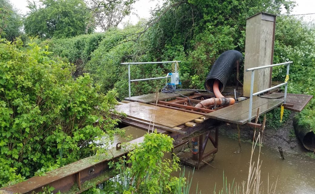
Southlands Drainage Study
2019 – 2020 | Vancouver, BC
The Southlands region of Vancouver, BC is located immediately north of the Fraser River and is composed of two major drainage areas – West Southlands and Blenheim Flats. This region is located in the Fraser River lowlands and is characterized by flat topography with only minor fluctuations in ground elevation. As a result, maintaining adequate drainage is an on-going issue in the Southlands region. Due to ongoing drainage issues, the City of Vancouver is seeking improvements to the drainage network.
The Southlands Drainage Assessment involved assessing the existing drainage network within the Southlands region (part of the Dunbar Catchment) to identify potential improvements to enhance the system’s performance. The goal of this project was to create an inventory of the existing surface drainage features, model and analyze the performance of the existing drainage network and provide conceptual design options to address any deficiencies in system performance or condition. As part of the proposed concepts, Green Infrastructure opportunities were identified and proposed.
McElhanney provided:
- Review of the City’s GIS database and complete of a Data Gap Analysis
- Environmental Assessment of the Southlands Area.
- Developed a public engagement strategy
- Completed a desktop hydrogeological study
- Prepare a PCSWMM 2D model for the analysis of specific overland flow routes
- Investigate problematic areas and identify any issues and constraints within the drainage network
- Prepare system performance and flood inundation maps for the existing system
- Propose a series of recommended conceptual upgrades for the system
- Green infrastructure concept design
- Completed a constructability review and cost estimates for proposed design
