FLNRO North Coast Land Use Planning
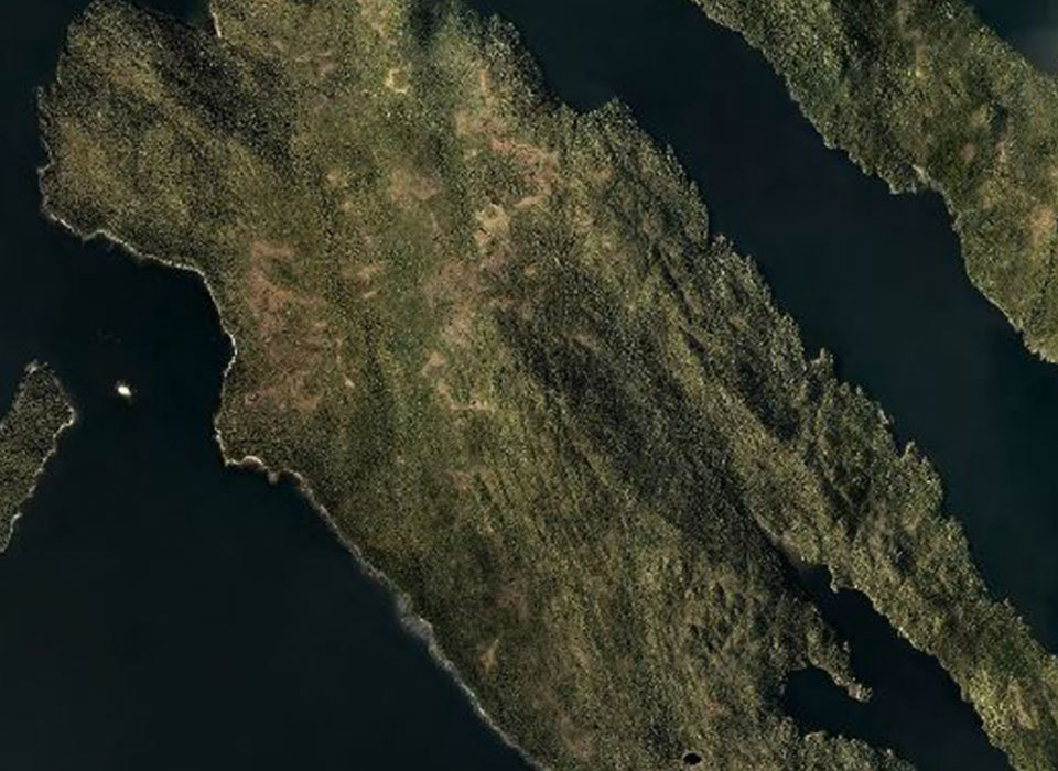
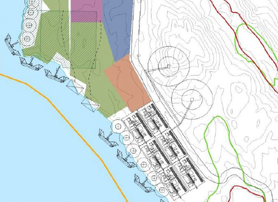
2012-2014 | Kitimat & Prince Rupert, BC – McElhanney provided GIS and mapping support for the land use development plan for future LNG and industrial developments in the Kitimat and Prince Rupert regions of Northern BC. This work included preliminary road design, site feasibility assessments, and an assortment of digital and paper maps being generated to display the environmental, topographic & legal characteristics of the areas to assess suitability for development. The GIS data was also brought into McElhanney’s secure web mapping platform, Vertisee, with various levels of access to allow all concerned stakeholders to view data pertaining to them. Work undertaken by McElhanney in this project directly supported the Grassy Point LNG Facility Agreement that was announced by the BC Government on November 12, 2013.
McElhanney provided the following:
- Project initiation and development of custom Vertisee site
- Prompt and highly accurate map preparation for ongoing discussions with land use stakeholders
- Data acquisition, verification, conversion and management from many sources
- Satellite imagery acquisition and processing
- Map production for various detailed land use plans to BC Ministers in Cabinet and media


