Simon Fraser University Scan to BIM
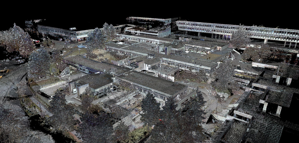
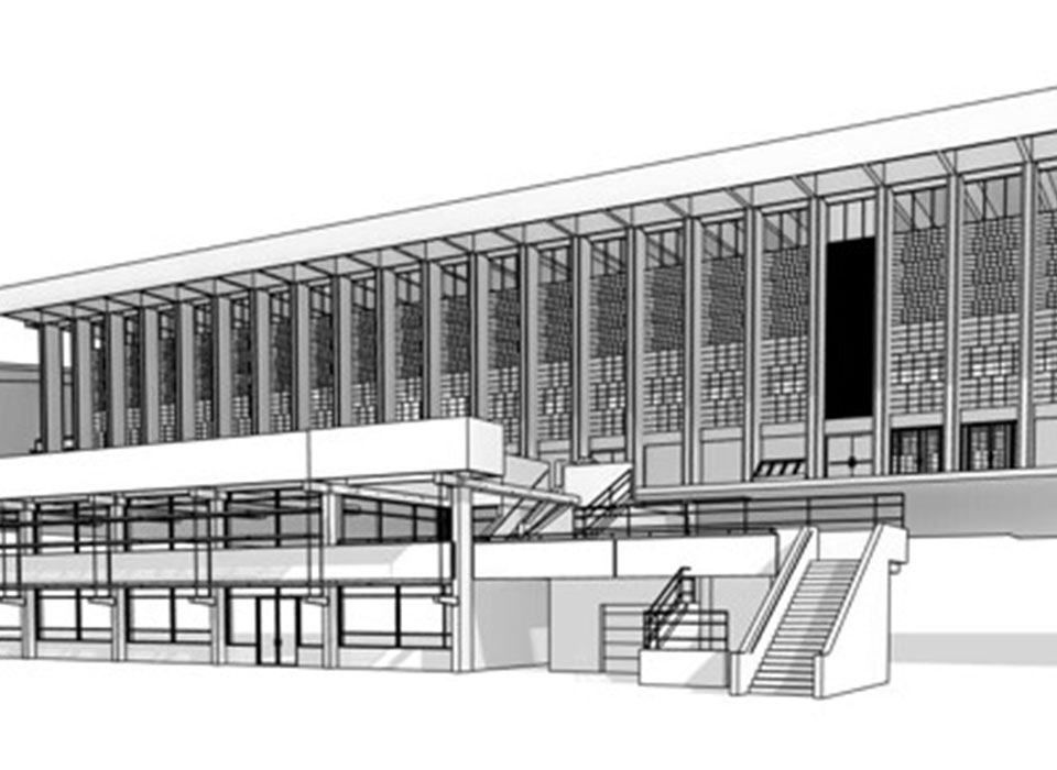
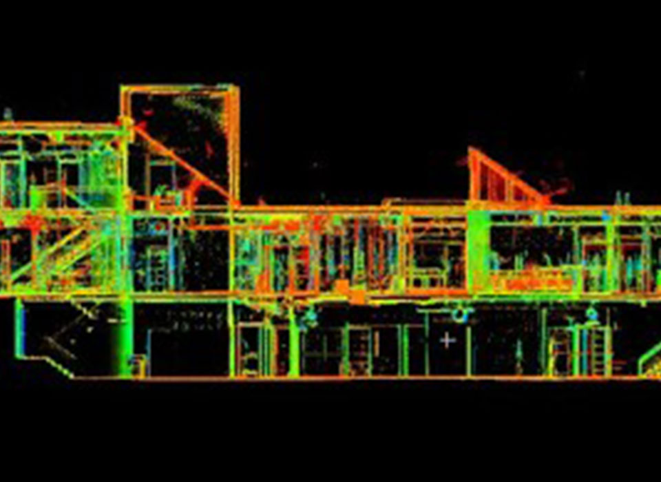
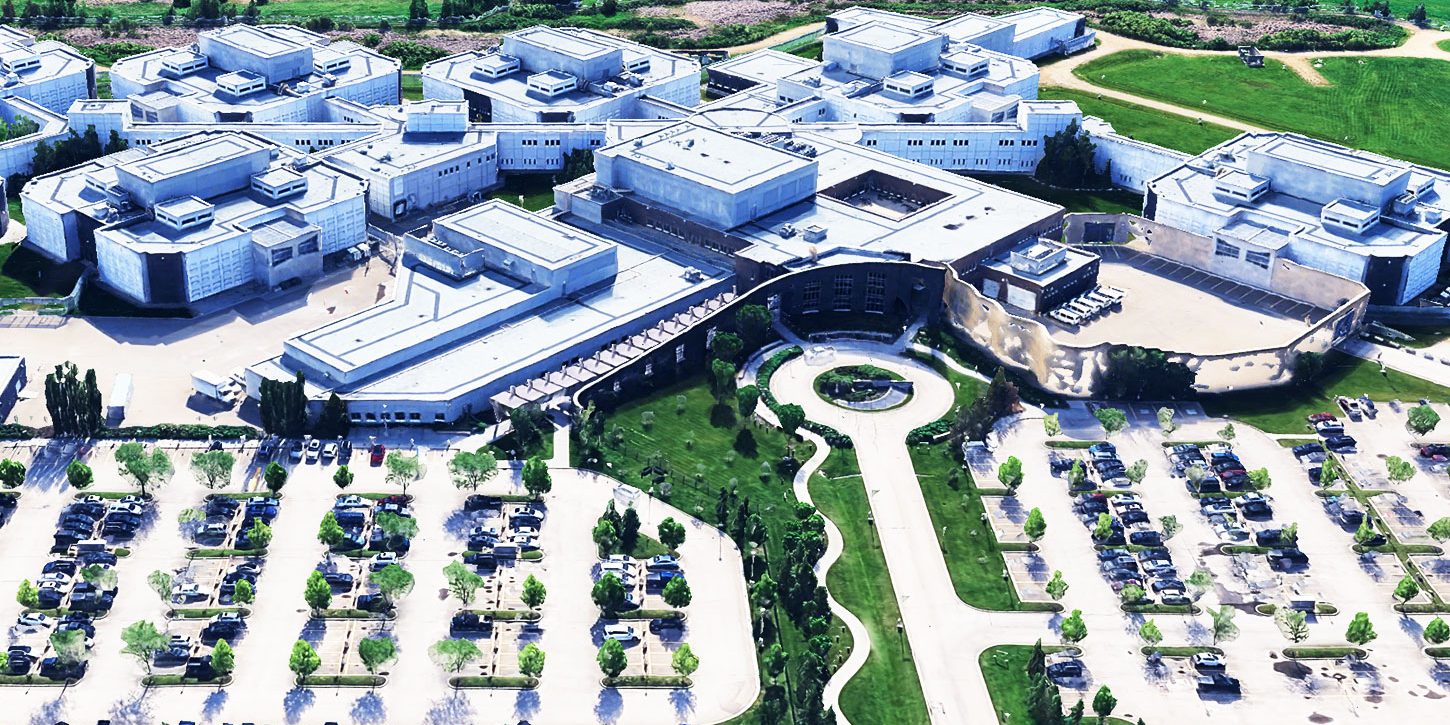
2016-2017 | Burnaby, BC – McElhanney conducted several laser scan surveys at SFU to assist with a variety of renovation and upgrade projects. Our team of modelling technicians converted the resulting point cloud exports into 3D Building Information Models (BIM) which are used directly by the architectural project team. Our technical team also produced site plans for the development permits and provided assessment drawings on existing structures to support the construction of new works. These comprehensive datasets have been integrated into SFU’s extensive GIS platform to enhance their asset inventory management system.
Key project features include:
- Approximately 600 scan setups have been conducted, resulting in over a billion collected points.
- High Definition photography has been collected from every scan setup which have been compiled to provide “Street View” perspectives for each project.
- The complete point cloud and photo capture dataset are accessible through SFU’s custom Vertisee site where users can measure distances, acquire coordinates, create and share markups, and add hyperlinks in a real time collaborative environment.
