
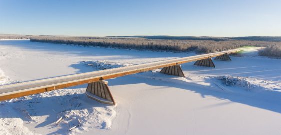
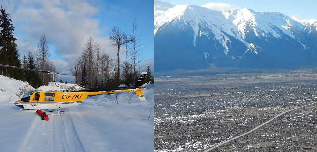
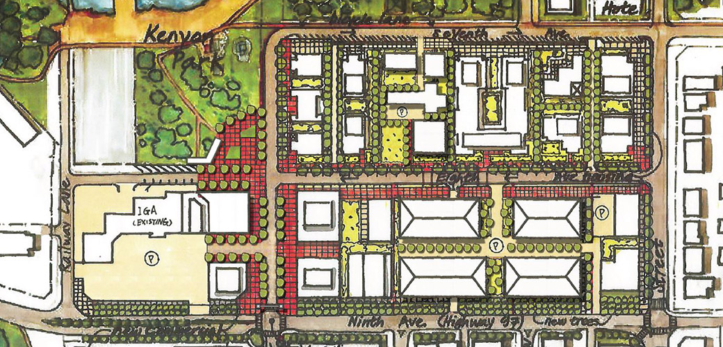
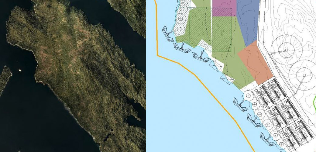
Prince Rupert Gas Transmission Project
The Prince Rupert Gas Transmission Project (PRGTP) is a proposed 900 kilometre natural gas pipeline running from Hudson’s Hope to Lelu Island on the BCs North Coast. This project involved extensive digital data collection in the field using the latest technology and continual updates to Vertisee, McElhanney’s own web-based GIS mapping platform.

