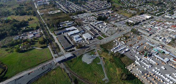
The 3D visualization for this project needed to show what No. 2 Road would look like after the widening between Steveston Highway and London Road was finished. Our team took photos from 5 specific locations to so the surroundings in the rendering could be accurate.
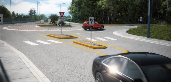
3D Photorealistic renders were required to showcase the design of this roundabout. CAD files were provided to model the roundabout as well as the terrain. After adding textures, lights and 3D models the renders were retouched to produce the final 3D imagery. The Contractor used these renderings to communicate the project to residents and stakeholders.
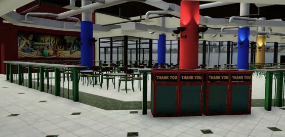
This Virtual Reality experience shows the potential of this technology and its benefits for project proposals, public forums, marketing, stakeholder engagement, and more. Laser scanned data, CAD models, and 3D models were used along with programming to create this fully immersive experience.
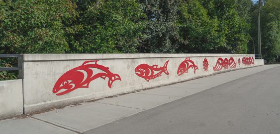
McElhanney is providing a wide array of services for this project including structural, civil, and hydrological engineering, environmental, visualization, and arborist services. McElhanney developed the images to help illustrate the project concept.
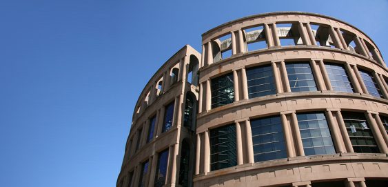
McElhanney provided surveying services to aid renovations at the library. The objective of the survey was to identify a precise location for a temporary concrete platform supporting a multi-storey crane, and to identify positions to underpin and support the load of the crane and platform.
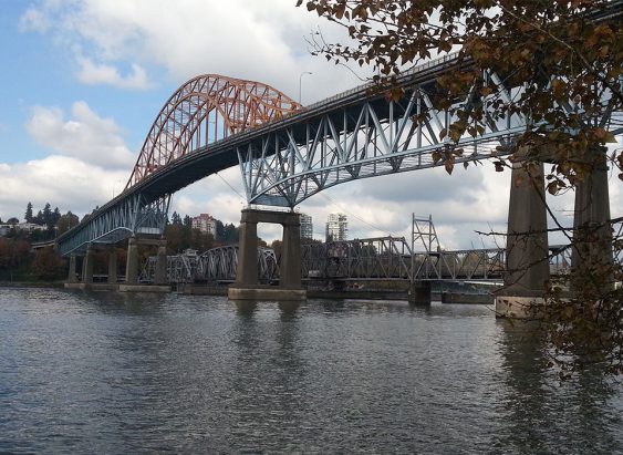
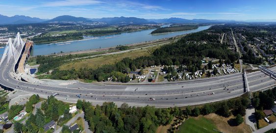
TransLink and the Ministry of Transportation and Infrastructure brought on McElhanney as the prime consultant to address deck repairs and create both a traffic management plan and an operations plan. The result was comprehensive plan that allowed the bridge deck rehabilitation to be completed and re-opened ahead of schedule.
During construction, more than 120,000 vehicles drove over the Port Mann Bridge every day, ranging from commuters (travelling 80km/h) to slow-moving construction machinery. The detour designs needed to incorporate HOV lanes, cycling lanes, and dedicated bus and truck ramps, and ensure high-speed and low-speed traffic did not mix.
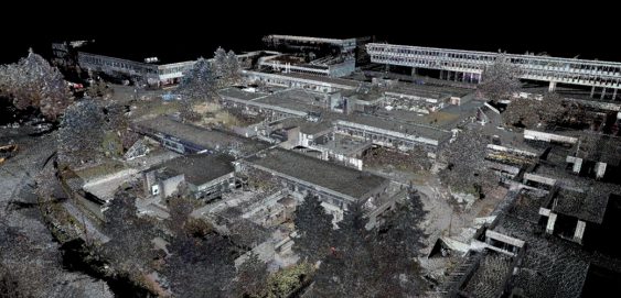
Burnaby, BC – McElhanney conducted several laser scan surveys at SFU to assist with a variety of renovation and upgrade projects. Our team of modelling technicians converted the resulting point cloud exports into 3D Building Information Models (BIM) which are used directly by the architectural project team.
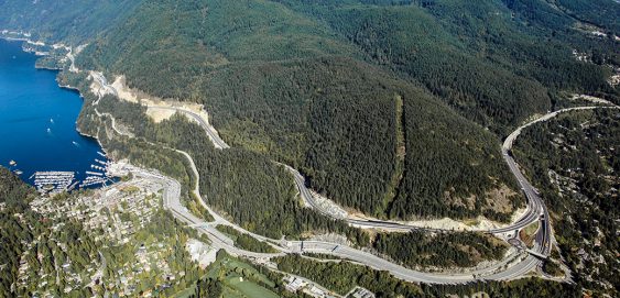
Whistler to Vancouver, BC – The Sea to Sky Highway links communities from Whistler to Vancouver. The highway was first paved in 1966 and for many years had only a single lane of traffic in each direction. As populations grew and the economy developed, collisions and accidents increased along the corridor.
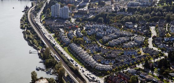
New Westminster, BC – The Sapperton neighbourhood in New Westminster, BC is experiencing significant growth. The Royal Columbian Hospital is undergoing a major expansion for the next decade. New mixed-use developments such as the Brewery District and Sapperton Green are bringing in employment opportunities and hundreds of new residents, and new major infrastructure including the Pattullo Bridge replacement and interchange upgrades planned for Brunette Avenue at Highway 1, will significantly impact traffic volumes and goods movement on neighbourhood streets.