For more than 110 years, we’ve been an industry leader in the application of leading practices and cutting-edge technology within surveying and geomatics. Our survey crews and technical employees are committed to working closely with our clients in the resource, infrastructure, and construction industries, and within the communities we help build.
GEOMATICS
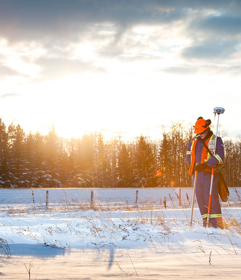
OIL & GAS SURVEYS
Since our expansion into Alberta and North-East British Columbia in the 1970s, we’ve been offering full cycle services from application to reclamation in the resource industry. With a quality driven approach and an ability to adapt to a variety of workloads, we’re able to successfully complete any project that comes our way.
- Well-sites and facilities
- Oil Sands
- Regulatory and permitting
- Access legal surveys for right-of-way
- Quality control
- Construction plans for facilities and plans
- Compiled mapping
- Individual Ownership Plans (IOP)
- Crossing and profile drawings
- Line locating
- Pre-planning and risk mitigation
- LiDAR and GIS
- Geotechnical borehole site selection
- Topographic survey
- Multi well pads
- Substation storage yards
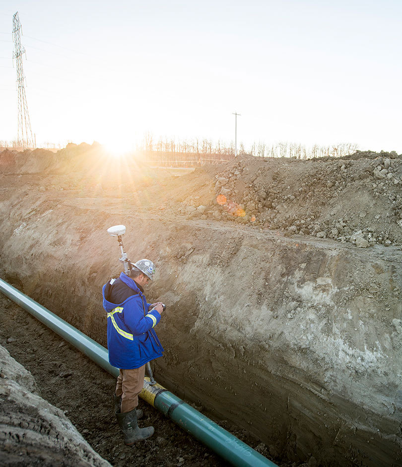
PIPELINE SURVEYS
We have completed thousands of kilometers of pipeline corridor surveys. With precise initial survey data, we’re able to establish constraints, challenges, and opportunities early on, to help projects run smoothly. Throughout the process, our accurate construction layout plays a crucial role in setting up the build for success.
- Pipeline routing and mapping
- Regulatory surveys and permitting
- Crossing and profile drawings
- Alignment sheets and construction plans
- GIS and data management services
- Construction and weld-mapping surveys
- Legal and as-built surveys
- Hydrographic/Bathymetric surveys
- Integrity mapping and support
- Drone (UAV) data, photo and video acquisition
- Depth of cover surveys
- Right of entry surveys and expropriation support
- Terrain modelling and fly-through generation
- Facility as-built and construction layouts
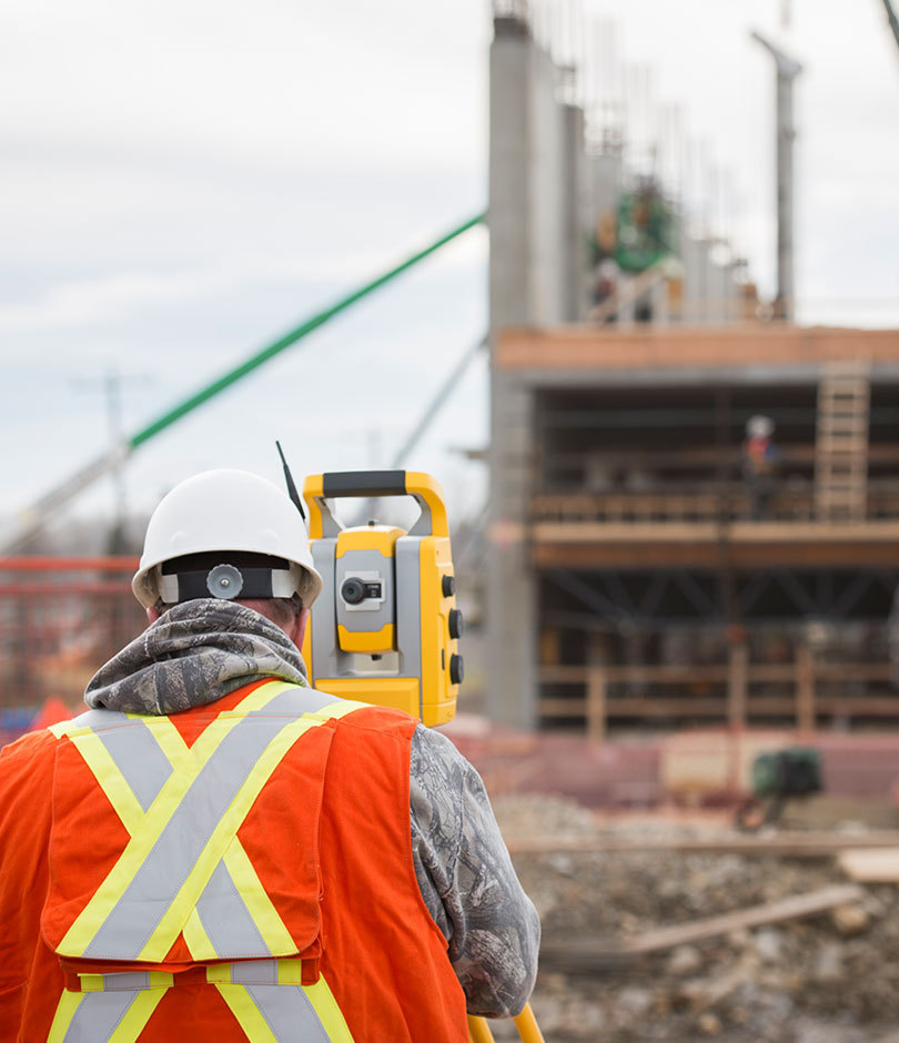
CONSTRUCTION SURVEYS
McElhanney’s Construction Services offer an adaptive and modern approach. Using only the best technology, we guide the commercial and industrial construction of new roads, buildings and structures, working closely with our clients.
- Topographic
- Structural staking (gridlines, piles, anchor bolts, bridges)
- Civil surface works (site grading, concrete for structures, curbs and flatwork)
- Deep and shallow utility locating services (sanitary, sewer, water, gas, electrical, telecom)
- Earthwork quantity tracking and verification
- Deformation monitoring
- Terrestrial laser scanning (floor and wall flatness, feature location verification, site progress)
- High precision surveys and control networks
- As-constructed reporting
- UAV (quantities, site progress reporting, asset management, aerial site imagery)
- Quality control / quality assurance
- Construction layout and as-built pipes
- Tunnel control and alignment surveys
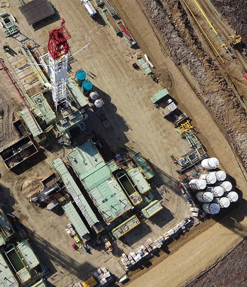
OIL SANDS SURVEYS
With over 30 years of experience, our dedicated Oil Sands team is here to serve and adapt to the demands of the industry. Using only the latest technology, we work closely with our clients to deliver only the best service to meet their unique needs.
- Oil Sands Exploration (OSE) programs
- Mine sites
- Multi-well pads
- Facilities
- Supporting infrastructure
- Ground disturbance/line locating
- Layout and as-built
- Earthwork
- Machine control support
- Transmission lines
- High precision survey control
- Quality control
- Terrestrial LiDAR surveys
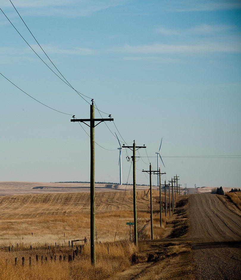
ENERGY DEVELOPMENT, TRANSMISSION & DISTRIBUTION SURVEYS
We have participated in thousands of kilometres of successful transmission and other linear infrastructure projects throughout Western Canada. We offer a wide variety of services to support these initiatives, and back them up with teams of highly skilled technical staff.
- Power line route (corridor)
- Mapping (Terrestrial/Aerial LiDAR and photo)
- Centreline surveys
- Regulatory surveys and permitting
- Crossing and profile drawings
- Alignment sheets and construction plans
- GIS and data/asset management services
- Construction and as-built surveys (ground based and LiDAR)
- Cadastral surveys
- Hydrographic / bathymetric surveys
- Drone (UAV) data, photo and video acquisition
- Right of entry surveys and expropriation support
- Terrain modelling and fly-through generation
- Quality control and assurance services
- Substation as-built surveys

RENEWABLE ENERGY SURVEYS
Renewables are on the rise, and we are committed to new energy, through the use of our surveying, mapping, and construction layout services, to assist in the development of run of river, wind and solar farm projects. As this industry continues to develop and mature, we are proud to be a trusted provider of survey consulting services to many renewable energy developers in Western Canada and internationally.
McElhanney provides survey and consulting expertise in the following survey services:
- Terrestrial and airborne LiDAR
- Aerial mapping and orthophoto
- Satellite imagery
- Land title and land act legal surveys
- Land tenure review
- Tunnel and turbine alignments
- Engineering surveys
- Construction surveys
- UAV (drone) surveys
- High precision control surveys
- Powerline and substation Layout
- Bathymetric Surveys
- Earthworks Volumes for Quantity Payments
- GIS and asset management services
- Quality assurance / Quality control surveys
- Telecommunications path surveys
- As-built record surveys
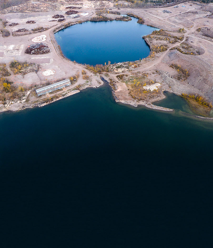
MINERAL EXPLORATION & MINE SITE DEVELOPMENT
Since 1910 McElhanney’s team of Professional Surveyors and technicians has been providing the mining sector with surveying and mapping support throughout Canada and Internationally. From mineral tenure review and government consultation to engineering survey support McElhanney offers the following services in house providing our clients with all the geomatics services necessary to take a mining project from exploration to operation:
- Terrestrial and airborne LiDAR
- Aerial mapping and orthophoto
- Satellite imagery
- Drill collar surveys
- Mineral tenure review and mining lease surveys
- Legal surveys
- 3D tunnel surveys
- Engineering surveys
- Construction surveys
- Mill and conveyor layout
- Dam deformations surveys
- UAV (drone) surveys
- Above and underground high precision control surveys
- Gyroscopic surveys
- Bathymetric surveys
- Earthworks volumes for quantity payments
- Road reconnaissance surveys
- GIS and asset management services
- Regional geochemical sediment surveys
- Blast pattern layout
- Quality assurance / quality control surveys
- Powerline and substation layout
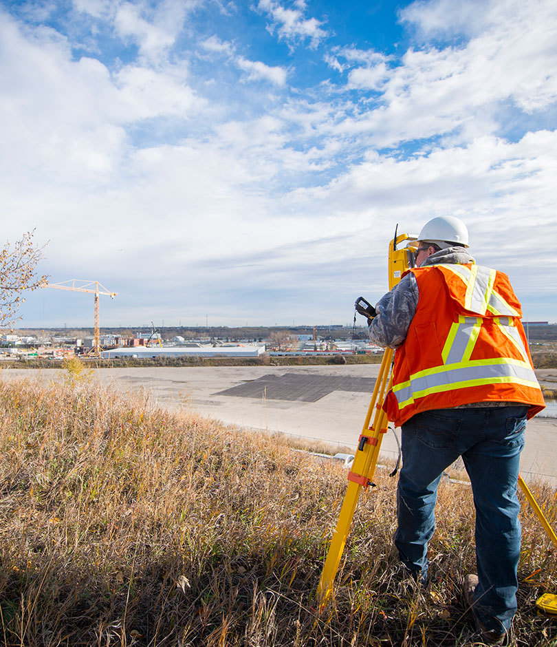
MUNICIPAL & LAND DEVELOPMENT
Municipal and Land Development surveying is at the root of McElhanney’s key services. We provide both private and public sector clients alike with high quality cost effective survey support. Whether a townsite, high-rise or single-family development McElhanney has the in-house knowledge and expertise to complete your project on time and budget. Our professional land surveyors are the first on site laying the groundwork and are the last to leave once the job is complete.
We have legal surveyors specializing in all areas of Municipal and Land Development surveys including the following:
- Topographic site plans
- Grid line and building layout
- Floor flatness surveys
- Multi floor high precision layout of grid lines and elevator cores
- Deformation monitoring
- Subdivision surveys
- BOMA lease surveys
- Strata and air space parcels
- As-built and utility locate surveys
- 3d laser scanning
- Building location certificates
- Curb and gutter and utility layout
- Pavement grade layout
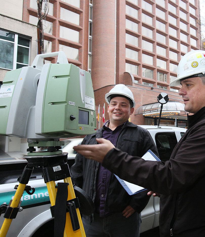
TRANSPORTATION
Our team of professional surveyors provide a full range of survey services for roads, highways, trails, and transit systems. Our surveyors have worked on some of the largest transportation projects in Western Canada in recent years including the Trans Canada Trail, Southwest Calgary Ring Road and North-East Stoney Trail, Sea to Sky Highway, Edmonton’s Valley LRT and Vancouver’s Expo, Millennium, Canada Line and Evergreen Rapid transit projects, Golden Ears and Port Mann bridge projects and South Fraser Perimeter Road to name a few. We provide the following high-quality geomatics services to Private Industry, Governments and Engineering consultants alike:
- Terrestrial and airborne LiDAR
- Corridor aerial mapping and orthophoto
- Land tenure review
- 3D scanning of highways, bridges and buildings
- Legal surveys
- Construction layout including grade stakes & slope staking
- Earthworks volumes
- Deformation monitoring
- Environmental survey support
- High precision survey control
- Engineering surveys
- Quality assurance / quality control survey support
- As constructed surveys for record drawings
- Topographic surveys and terrain designs for machine control support
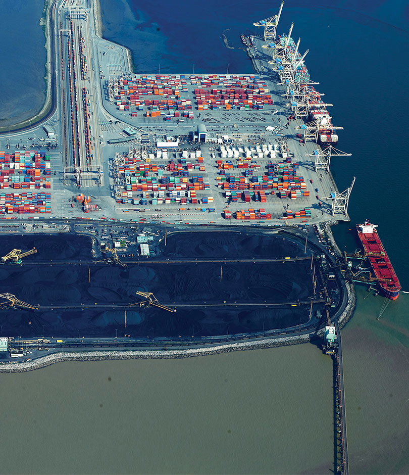
PORTS & MARINE
McElhanney has been providing survey support to help our clients build, maintain and expand their port facilities in BC and Internationally. Our in-depth knowledge and full geomatics consulting services ensure we can provide the right solution at the right fee to meet all of our client’s timelines. Our services include the following:
- Terrestrial and airborne LiDAR
- Aerial mapping and orthophoto
- Topographic surveys
- Industrial survey support
- Utility locates
- High precision control
- High definition scanning
- Single and multibeam bathymetric surveys
- Conveyor layout
- Rail layout
- Legal surveys
- Barge positioning
- Pile layout
- Precise alignment surveys for mills and other rails
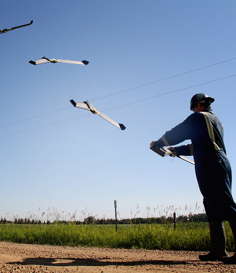
LINE LOCATING
Our line locating crews use the latest equipment and technology to perform numerous types of locating jobs throughout the Western Canadian Sedimentary Basin. Our pipeline and utility locating services include:
- Locating and marking underground facilities for new pipeline and well construction.
- Service station reclamation locating.
- Well or pipeline abandonment and reclamation locating.
- Sign installation
- One Call locating to ensure ground disturbance is clear of buried facilities.
- Verification that environmental test holes or dig sites are not in conflict with any underground facilities.
- Staking for integrity digs.
See below for our complementary services for comprehensive ground disturbance packages and One Call support that help to keep your team safe and focused on your project schedules.
GROUND DISTURBANCE
We have the expertise and tools to help you conduct ground disturbance activities as safely as possible. We provide our clients with comprehensive ground disturbance packages, so your projects are planned and executed with the utmost regard to safety. Ground disturbance packages include:
- Current regulatory information on all pipelines, wells, and facilities within the proximity of the defined work area.
- Aerial and satellite photography of the site.
- All title documentation associated with land.
- Individual ownership plans acquired through title searches.
- All survey plans for the land.
ONE CALL SUPPORT
Whether it’s an excavation for a major construction site, a new pipeline, or simply a landowner building fencing for livestock, any time equipment strikes the ground there is potential for conflict with buried pipelines and utilities. Our strong focus on the safety of people performing excavation has led to a comprehensive group of services related to managing ground disturbance. We manage Alberta, BC, and Saskatchewan One Calls generated by provincial One Call corporations on behalf of numerous companies so that they can focus on their priorities. We can offer you:
- Monthly updates to Alberta One Call Corporation, BC One Call, and Sask 1st Call with your pipeline data. Using regulatory data and other information, we track new pipelines, acquisitions, and divestitures so the right pipelines are in the system.
- One Call submissions on your behalf. We provide the information to One Call organizations, then receive associated correspondence and ensure that all necessary clearances are received before work commences.
- One Call screening services so your staff can focus on what they do best instead of talking with contractors and landowners. Our experienced One Call staff handle the phone calls and compile the required information to determine if planned ground disturbance will be in conflict with your buried facilities.
- Clear communication once the situation is determined so you know what has transpired – this includes maps showing the location of the planned work in relation to their facilities.
- Constant communication with the person or company planning the ground disturbance. If there is potential conflict with buried facilities, we direct them to hold off on work until your facilities have been located and marked.
- Swift dispatch of field crews to get the job done within the requirements of the One Call system.