Highway Engineering Services – Asset Management
McElhanney’s in house web mapping platform, Vertisee, was used to host all of the relevant project information including current and historical assets, orthophoto, LiDAR and field crew assessments.
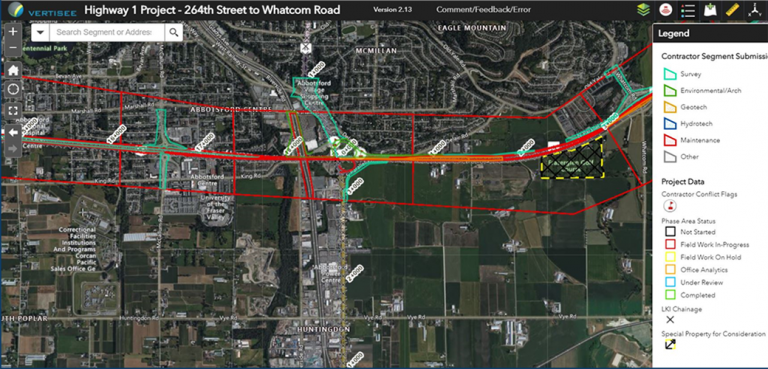
McElhanney deployed Vertisee, its own web-based mapping solution, and developed a tool within it which allowed multiple consultant / subcontractors to submit work simultaneously during the Highway 1 road upgrades.
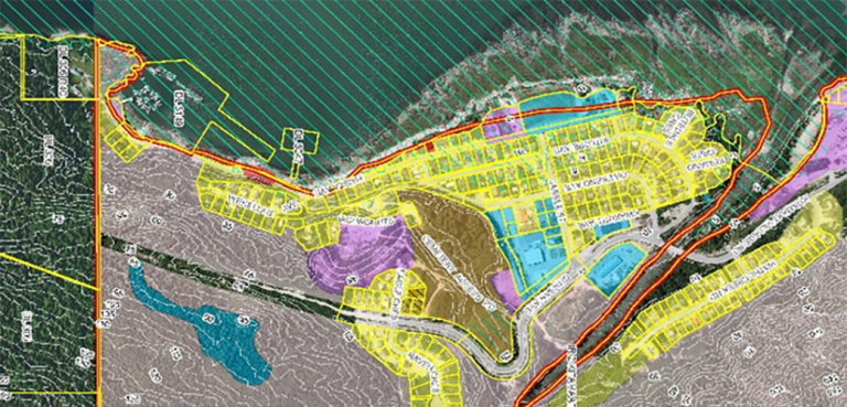
McElhanney’s GIS system, Vertisee, was used to identify potential land use conflicts and synergies, for a land use plan as part of the implementation of the First Nations Land Management Act for Haisla First Nation.
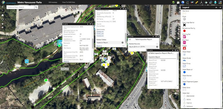
McElhanney designed and implemented a mobile field program and desktop conversion of various data sources to update Metro Vancouver Regional District’s spatial database of all assets owned and maintained by the Parks department.
As TransLink’s LRT initiative surges forward, McElhanney’s Surrey Branch is collaborating with the City of Surrey to replace the Bear Creek Bridge. Our team is providing environmental, arborist, survey, hydrotechnical, civil engineering bridge design, and construction inspection services for a new bridge that will accommodate future transit along King George Boulevard. This structure is adjacent…