City of Vancouver Utility Planning Services
2019 – 2020 | Vancouver, BC
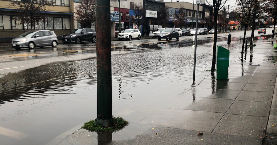
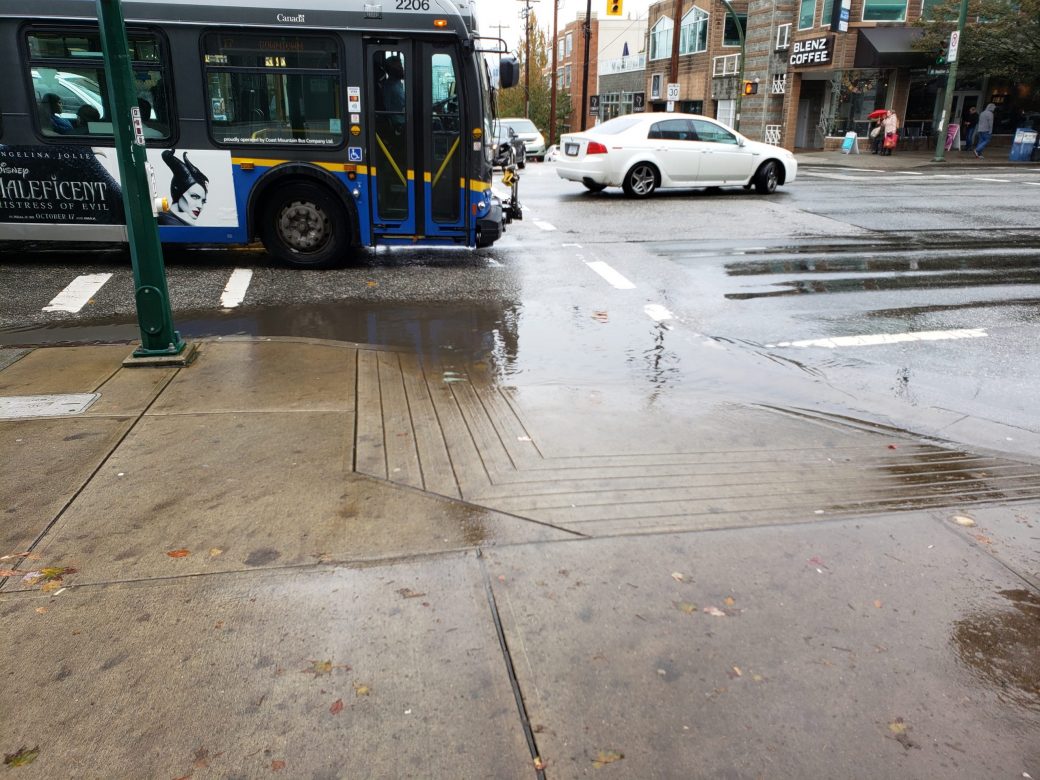
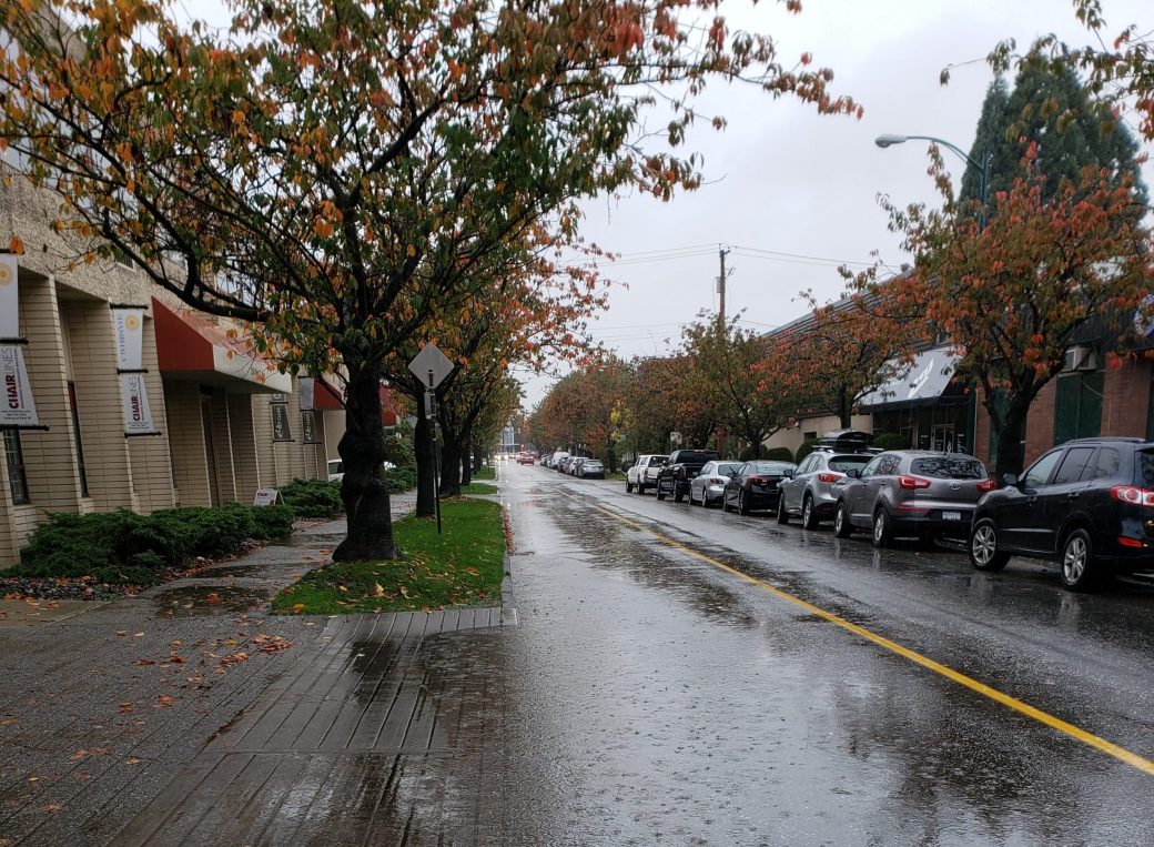
The Broadway Plan Area extends from Clark Drive in the east, to Vine Street in the west and from 16th Avenue in the south to 1st Avenue in the north. There are five major catchments, with a total area of approximately 3,860ha, draining into the project site. McElhanney worked closely with the City of Vancouver to analyze overland flow paths in the Broadway Plan Area through the development of a two-dimensional (2D) hydrologic-hydraulic model. The hydrologic-hydraulic model will be used to advance the understanding of overland flow paths and ponding locations within the Broadway Plan Area, providing valuable data so that the management of stormwater runoff can be incorporated into future planning. The assessment included a review of proposed “Blue-Green” corridors and potential storage opportunities to determine feasibility.
A 1D network model was also developed for the Terminal Catchment. Flood hazard maps were prepared for each of the five catchments draining through the Broadway Plan Area. Thresholds established for depth, velocity, and hazard ratings were based on UK guidelines.
McElhanney provided:
- Overland flow hydrologic / hydraulic models for six major catchments within the City
- Review of historical overland flooding within the project area for model validation
- Review of current model filing structure and database organization
- Review of the City’s GIS database and complete of a data gap analysis
- Preparation of inundation and hazard maps


