MapInfo with Datamine-Discover

Mineral Exploration Module 2

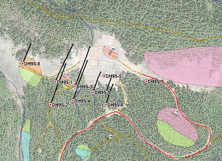
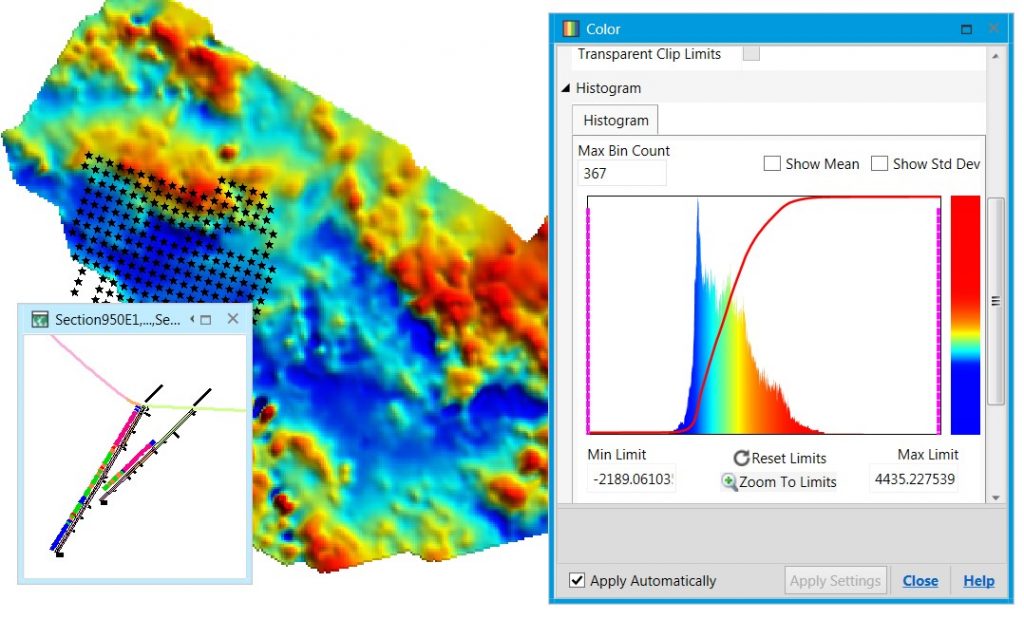
This course covers intermediate to advanced MapInfo Discover topics. The course gives attendees an extensive introduction to working with drillhole data in the 2D environment. Attendees will complete a drillhole data project, starting with the basics of data table design, and finishing with plan views, cross-sections, and section interpretation layers. Exercises dealing with geophysical, surface geochemical, geological, and drillhole survey data will also be taught. Students taking this course will be well-prepared for the Discover 3D course. The course is taught using Datamine Discover 2019. Each attendee requires their own laptop and a copy of Datamine Discover 2019. Free evaluation licenses can be provided, but these must be requested and installed before coming to class. Attendees should be familiar with all concepts and procedures discussed in the course Datamine Discover – Mineral Exploration Module 1.
View Sample Course Notes

MapInfo with Datamine-Discover – Mineral Exploration Module 2

Course Outline:

  • Picklists and legend files: Developing and using reference lists for standardized colours, patterns, and symbols
  • Overview of Discover Drillhole Module features
  • Designing drillhole data tables. What is a relational database? Drillhole project setup
  • Discussion: Core logging is part of the database building process. Is your method of recording information limiting how you can use your data?
  • Discussion: The checklist for drillhole positional data
  • Updating database tables with new data
  • Database validation: Identifying and fixing common drillhole database errors. Checking for sample overlaps, gaps in data, survey data errors, etc.
  • Creating and managing cross-sections and plan views
  • Exporting and backing-up drillhole projects
  • Gridding and contouring: Grid and contour generation and reprojection
  • Discussion: The dangers of “push-button” gridding: Artefacts of the gridding process, computer-generated anomalies, projecting values into areas with no samples
  • Importing and working with Geosoft grid files
  • Deriving elevation data from a digital elevation model (DEM). Using a DEM to prepare 2D data for 3D display. Use a LiDAR DEM and the GraphMap module to identify drillhole elevation data issues
  • Geochemistry data: Generating summary statistics
  • The Data Classification tool: A thematic mapping tool designed for geologists
  • Creating a custom coordinate system (relating a local property grid coordinate system to UTM)
  • SQL Queries: Linking MapInfo map objects to a MS Access table. Summarizing data within single tables (For example, display the top lithology in all drillholes). Avoid the creation of duplicate records when updating tables
  • Coordinate system transformations: Incorporating vector data (like CAD files) in “unknown” coordinate systems
  • Digitizing a Complex Geological Map (for MapInfo Discover 2015 32-bit): Reducing the amount of digitizing work required. Generating unit-polygons from contacts. Automated and semi-automated data entry
  • Structural data: Generating structural symbols for mapped features. Creating map symbols from dip and dip-direction information. Why is dip / dip-direction better than strike / dip?
  • Working with large numbers of text objects. Formatting text for scaled map plotting
  • Creating Google Earth files

Upcoming Dates:

August 28, 2020 – Vancouver

Register