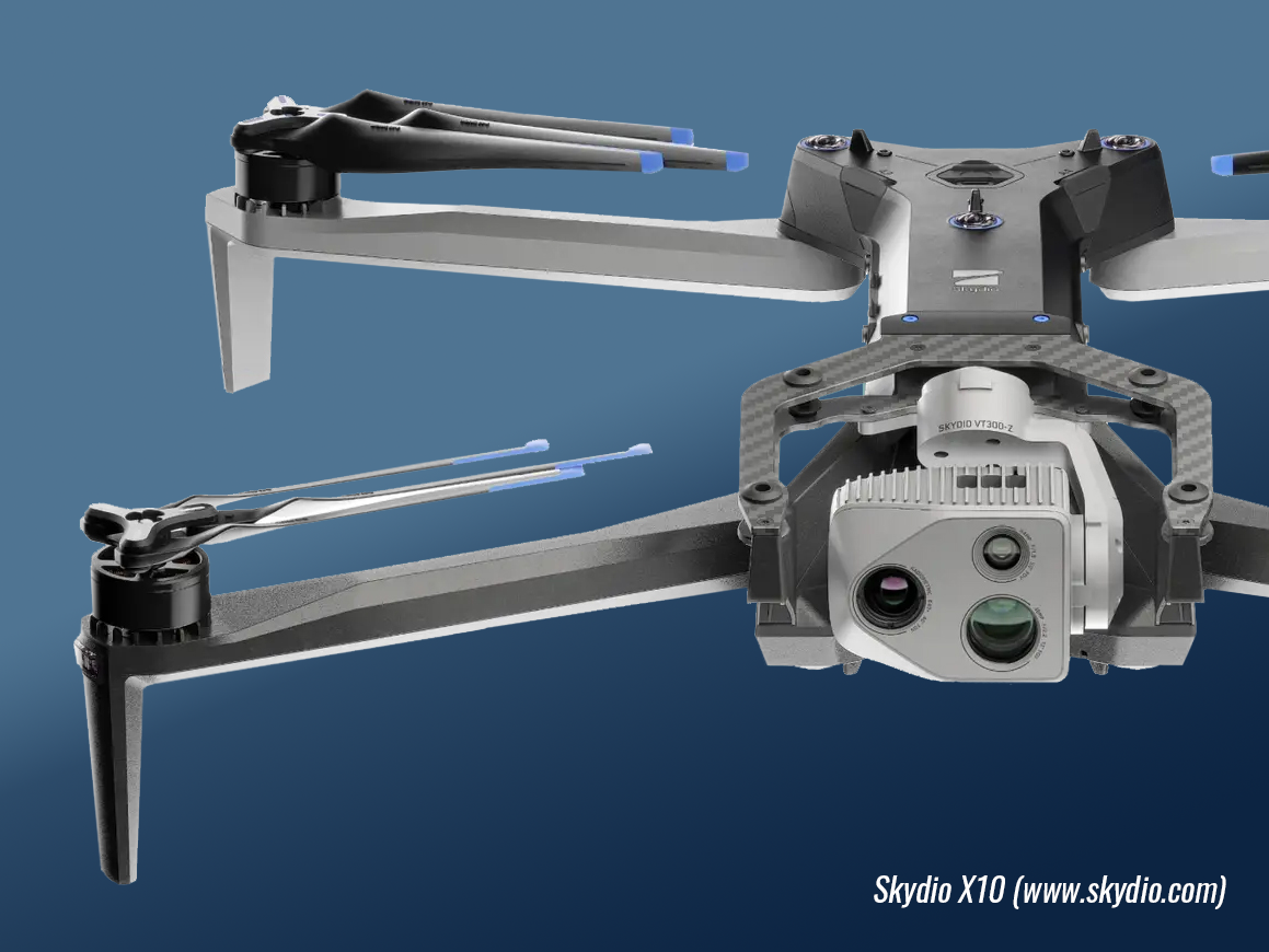
Problem Solving on the Leading Edge
Whether your project is large or small, McElhanney’s drone services will tackle your challenge with problem-solving experience and leading-edge technology. Using McElhanney drone services lets you solve classic challenges in ways that simultaneously reduce project carbon footprints and capture more comprehensive and accurate data.
McElhanney has solved problems in innovative ways since 1910; partner with us to discover how we can help you solve seemingly age-old problems.
Classic Challenges Tackled by McElhanney Drones
These are just some of the problems our teams have solved for clients like you:

Volumetrics
- Earthworks monitoring
- Excavations
- Stockpiles

Change Detection
- Coastal erosion monitoring
- Construction progress
- Plant identification and propagation
- Topographic deformation monitoring (flooding, erosion, etc.)

Modelling
- As-built surveys
- Asset management
- Digital twins
- Engineering design
- Geotechnical surfaces
- Infrastructure inspections
- Topographic surveys

Analysis
- Asset defect analysis
- Disaster assessments
- Geoprocessing automations
- Land use planning
- Route / constructability assessments
- Vegetation encroachment
Client Experience Spotlight
“McElhanney’s RPAS services successfully completed three imagery and LiDAR drone surveys for the City of Chilliwack in 2023. I was impressed by the RPAS team’s professionalism in safety completing their fieldwork in busy, urban neighbourhoods, and the timeliness and quality of the final deliverable. McElhanney continues to set the gold standard for imagery collection.”
– Andrew Boan, GIS Supervisor at the City of Chilliwack
Did You Know?
Drone-based solutions reduce your project’s carbon footprint.
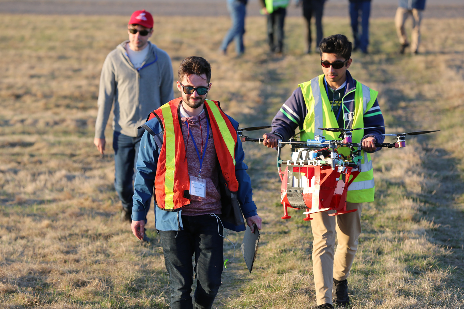
We’re active in the regulatory spaces that are moving drones forward in Canada. Within regulatory frameworks, drone technology is known as Remotely Piloted Aircraft Systems, or RPAS. Across Canada, you’ll run into us in places where drone technology and methodology are advancing, like:
- Aerial Evolution Association Canada’s UAS Student Competition: We sponsor university students to push the boundaries of Unmanned Aircraft Systems (UAS) capabilities so that we can apply leading-edge strategies to your project; and
- AIRMarket’s iART Alberta RTM Trials: We work alongside regulators and academia, airports, end users, and technology suppliers to further Beyond Visual Line of Sight (BVLOS) flight opportunities so that we can fly longer and farther on your project.
Our fleet of certified drone pilots and equipment is embedded in our over 30 branches and integrated with McElhanney’s multidisciplinary services. McElhanney drones gather data using familiar sensor technology like LiDAR, photogrammetry, multispectral, thermal, and video payloads.
When drone data outputs are communicated using McElhanney’s visualization resources, decision-makers are equipped with the information they need to make change.
Did You Know?
Drone-based solutions capture more comprehensive data than traditional methods.
Let’s Get in Touch
WE’RE HERE TO HELP YOU SOLVE CLASSIC CHALLENGES IN RE-IMAGINED WAYS.

Stef Kischkel
RPAS Compliance and Risk Management
Stefan has been with McElhanney since 2007 and began his career in the field as a Survey Party Chief. Over time, Stefan dedicated himself to the digitalization, or transformation, of survey processes using digital technology. As McElhanney’s RPAS Coordinator, Stefan oversees companywide data, people, and equipment management platforms for drone-based data acquisition workflows. He has also developed enterprise-level automation processes that integrate 3D modelling and remote sensing capture data into deliverables for a wide range of clients.

Mike Morellato, MSc
Division Manager
Mike Morellato has been solving GIS and remote sensing problems in innovative ways for 20 years. He has delivered Remotely Piloted Aircraft Systems (RPAS) solutions in various sectors, with a focus on environmental applications. He has led drone operations in Canada and abroad that have involved RGB, multispectral, thermal, LiDAR, gas detection and heavy lift payloads. In addition to project management, his technical interests include high resolution inspection deliverables, AI tools for fault detection, and drone-based methane monitoring applications.
