Fraser River Rail Bridge High-Definition Survey
2020 | New Westminster, BC
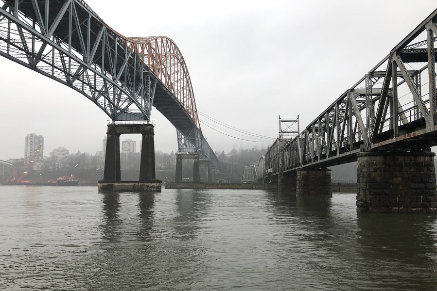
The Fraser River Rail Bridge spans the Fraser River to connect the Lower Mainland communities of Surrey and New Westminster by rail. The Fraser River Rail Bridge is immediately southwest of the major vehicle commuter artery, the Pattullo Bridge, and is crossed by 40 to 60 freight and passenger trains each day.
The Fraser River Rail Bridge was built in 1904 and was the first fixed crossing of the Fraser River. With only a single track and the ability to pivot to allow passing river traffic, the bridge’s design bottlenecks rail traffic in the region and is in constant use.
AtkinsRéalis needed to complete a visual inspection of the Fraser River Rail Bridge and approached McElhanney for comprehensive 3D data and photos. Completing the visual inspection using 3D data and photos would allow the inspection process to remotely capture accurate measurements of hard-to-access, complex structural components.
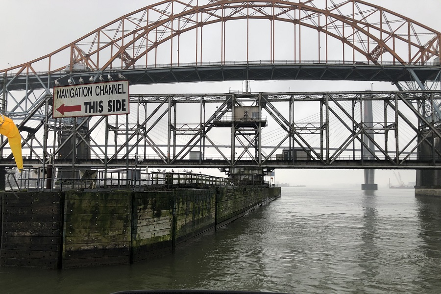
Because of ongoing bridge traffic, bridge deck access was prohibited. This meant that long range laser scanning could only be conducted from the shore. Whenever a bridge feature was not visible from the shore, McElhanney teams supplemented long range laser scanning data with photogrammetric reconstruction from over 8,000 images collected by UAV and boat.
The McElhanney team faced several challenges while collecting these 8,000 images. Moving water in the background complicated alignment, while improvised targets, like spray paint marks from the boat, were necessary to control photo alignment in areas without scan data. Moreover, because all the photos were taken from oblique angles, creating manual identification points, or tie points, was crucial for achieving accurate alignment between the images.
Ultimately, McElhanney teams merged long range laser scan data with photogrammetric point cloud data to provide AtkinsRéalis with an accurate visual inspection of the Fraser River Rail Bridge, all without disrupting the daily flow of freight and passenger traffic.
McElhanney delivered:
- Long range laser scanning
- Photogrammetric reconstruction from over 8,000 images taken from UAV and a boat.
- Point cloud and raw image deliverables


