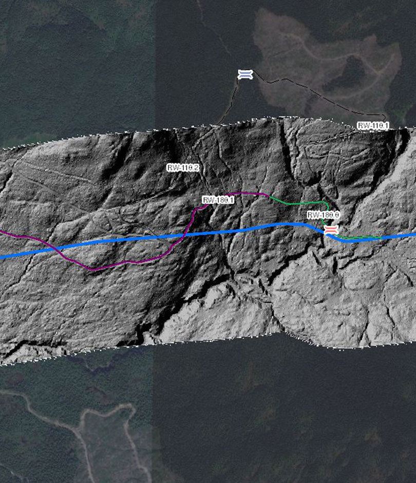
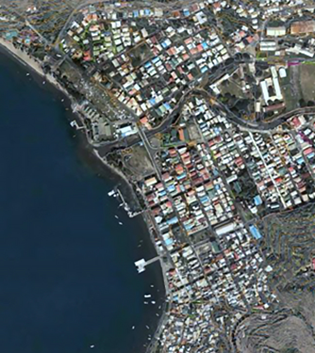
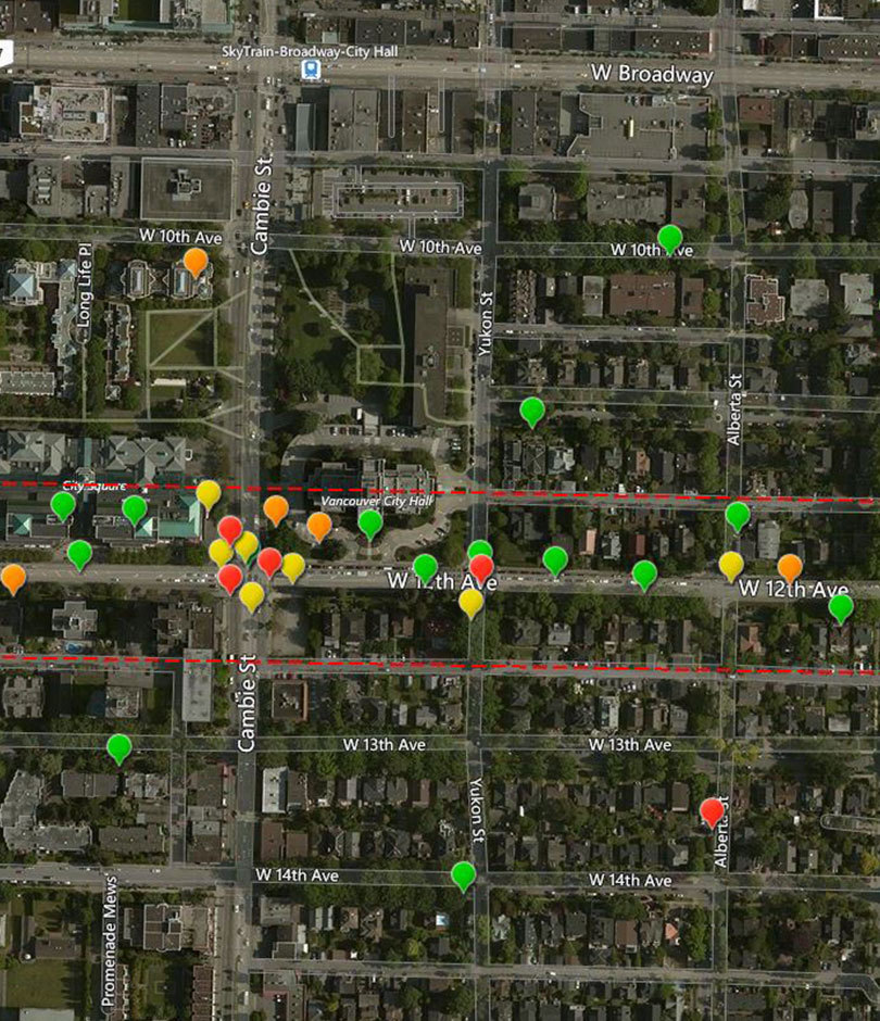
What’s your geospatial challenge? We’ve uncovered hidden cities in Cambodia, monitored Canadian LNG projects from the ground to corporate offices in real time, and created crowd-sourcing apps to help improve neighbourhoods. Working with you, we develop custom solutions to turn your maps and data into comprehensive landscapes of valuable insights.
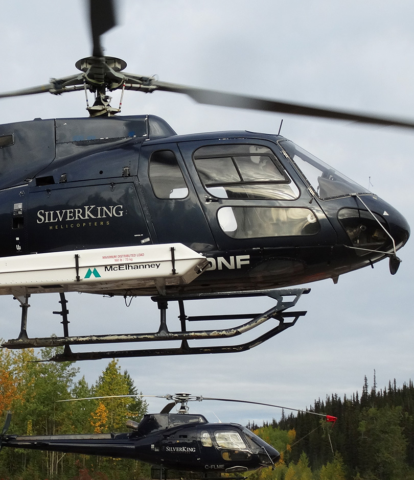
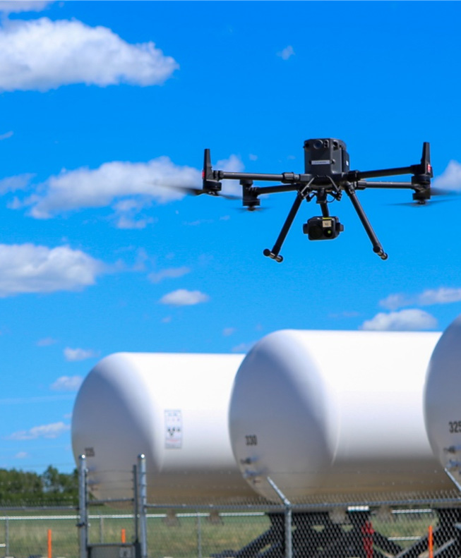
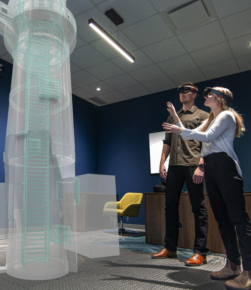
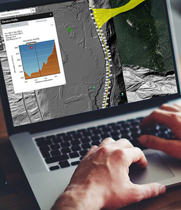
Our state-of-the-art tools allow us to gather your data in cutting-edge ways; we use drones, LiDAR, laser scanners, and other high-definition survey equipment to be the eyes in the sky, on the ground, and below the water’s surface. And when we combine your data with our years of experience and spirit of exploration, we create data insights so you can drive change. Finally, we communicate your data insights using spatial tools, 3D models, and visualization tools like virtual and augmented reality (VR and AR) so you can influence decision making effectively.
