Applications for Trimble SiteVision
Ongoing | Western Canada
Exploring SiteVision
Trimble SiteVision is a user-friendly, outdoor augmented reality system that brings data to life so you can visualize and explore complex information with unrivaled accuracy.
From visualizing in 3D to providing measurement and reporting, SiteVision has applications across multiple sectors including:
- Civil construction and inspection
- Landscape architecture and construction
- Residential development
- Surveying and mapping
- Architecture
- Urban transportation and planning
- Utilities
There are numerous applications for Trimble SiteVision on McElhanney projects. The following testing and use cases are just two examples of how SiteVision can be applied.
Initial Testing
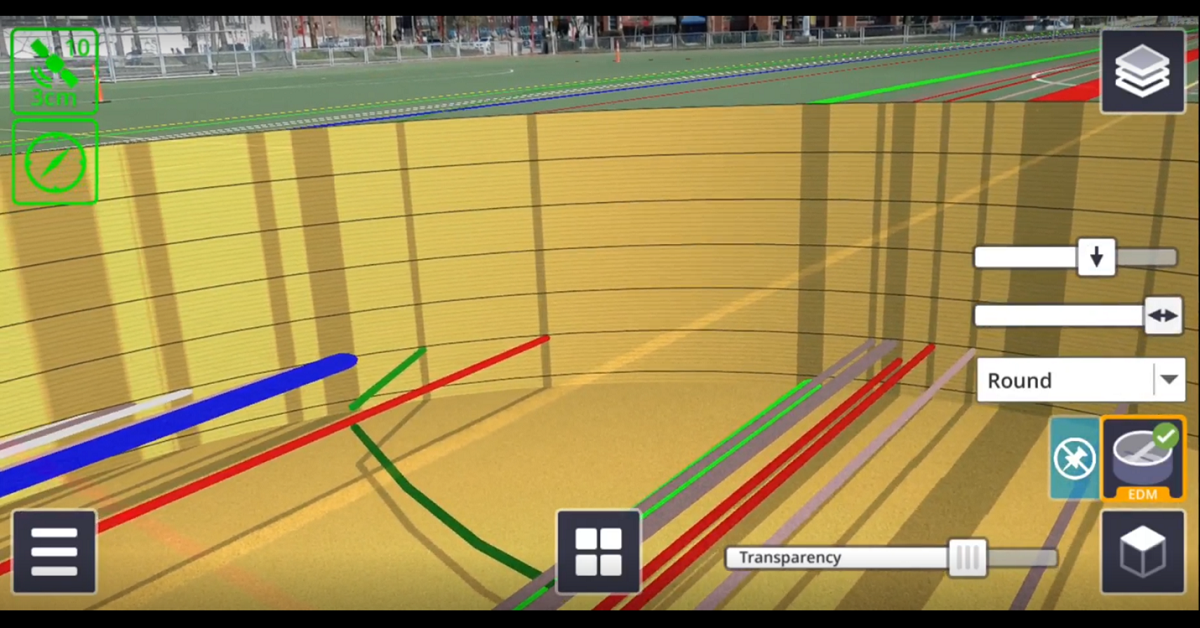
During one of our early SiteVision tests, we explored underground utility exploration, 3D object placement, and aboveground boundary overlays. The device proved effective in rendering the linear and point infrastructure accurately along a testing corridor. The slice tool extended the utility of the device by allowing us to view the linear assets at realistic depths. We continued to familiarize ourselves with the technology by trying alternative rendering methods, such as replacing 2D lines with 3D walls and adding custom models.
On-site Trimble SiteVision Use Cases
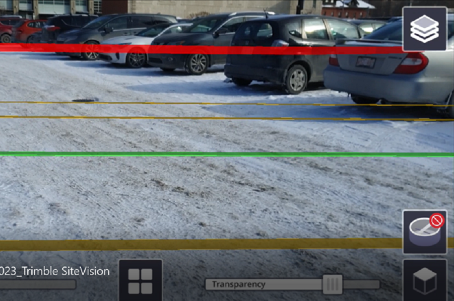
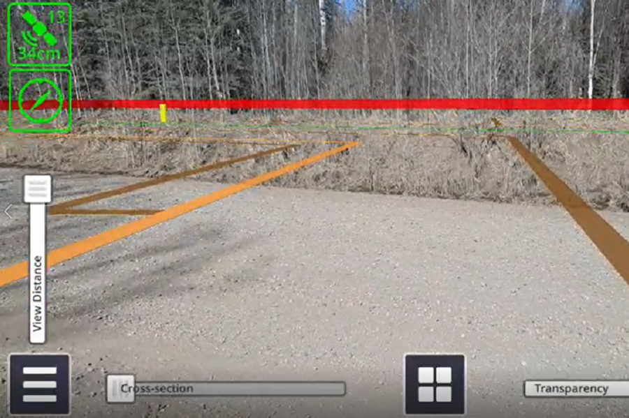
Our team was engaged by a pipeline client that wanted to install a second pipeline within an existing right-of-way. Our goal was for the client to see three important features for the length of the pipeline while they were in the field; their right-of-way boundary, the existing pipeline, and the second pipeline design. Being able to see all three features at once was important, as segments of the design required the existing boundary to be altered. Using SiteVision, we put a spotlight on those boundary segments and facilitated more constructive collaboration between the client and the project designers.
To achieve this level of visualization in the past, the client had to send out a crew to stake the boundary manually. Using SiteVision instead offered incredible savings in time and resources.
Ongoing Trimble SiteVision Development
SiteVision is excellent at overlaying digital models onto the physical environment and gives a better understanding of how the designs will interact with the existing environment. It is also easy to use because of its connectivity and the variation of the software and hardware ecosystem it relies on.
SiteVision software is also available on McElhanney’s Trimble R12I, TSC 7, and TSC 5 data collectors. These handheld devices make an excellent quality control platform for McElhanney field crews when collecting data; they allow screenshots of the surveyed data to be superimposed on the real environment to easily convey findings and visually render project data.
The potential of SiteVision’s augmented reality is unquestionable, particularly when considering the number of other data types (drone, LiDAR, GIS, scanned models) that it can integrate with.
Learn more about the technology behind Trimble SiteVision on their website.


