High Level Infrastructure Assessments and GIS Updates
2021-2023 | High Level, AB
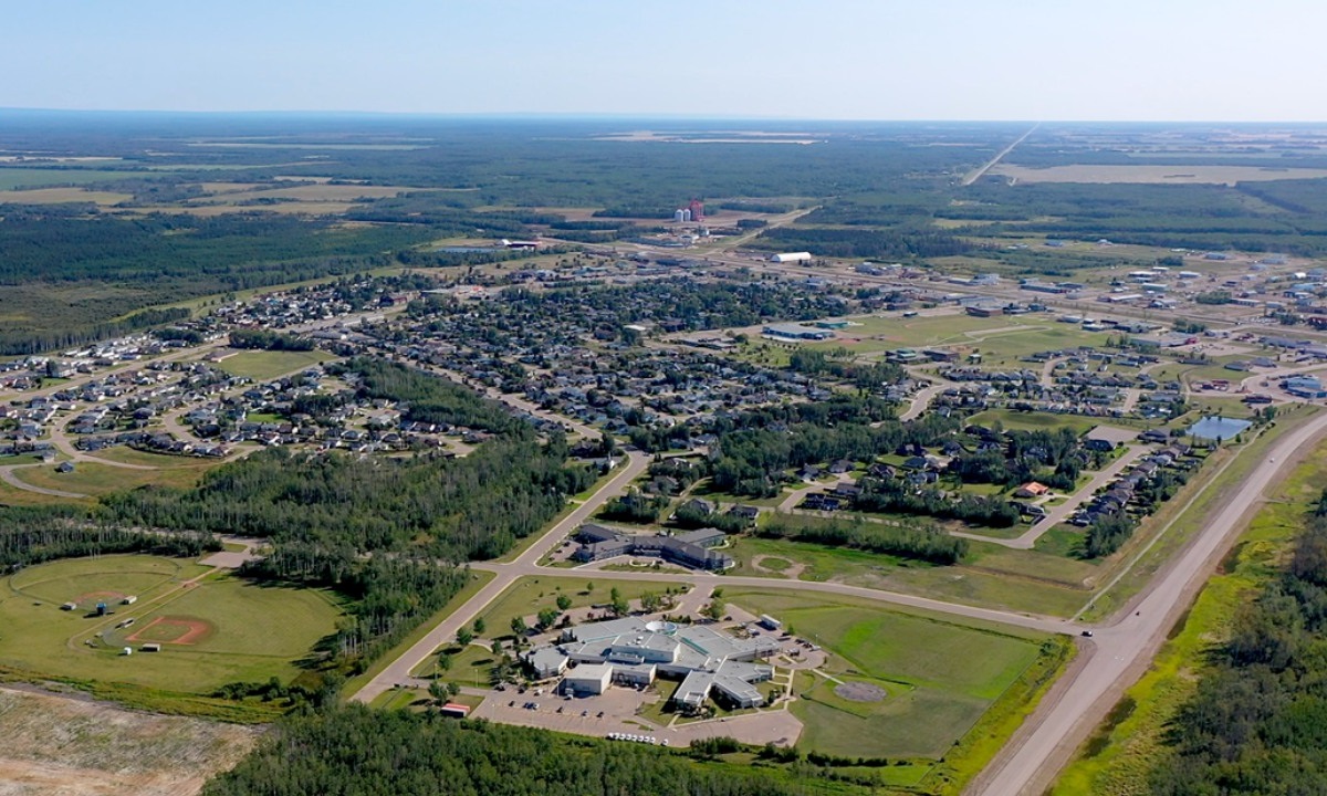
The Town of High Level (the Town) didn’t have an adequate planning document to guide their municipal infrastructure maintenance and development. This void took center stage when the Town set its sights on top surface infrastructure improvements; it was recognized that until the infrastructure underground was quantified, surface improvements would have to wait.
The Town engaged McElhanney for a stormwater management plan, a parks and trails master plan, and a variety of infrastructure assessments including sanitary sewer and water mains.
Because of McElhanney’s diverse range of services, numerous teams set to work in tandem. Our stormwater group took on the stormwater management plan, and the parks and trails master plan was taken by our landscape architecture group. At the same time, a sanitary and sewer assessment was initiated by our local team in Peace River, with the intent of identifying the location, condition, and repair priorities of the Town’s sanitary sewer infrastructure.
Sanitary Sewer Infrastructure Assessment
Our team began the sanitary sewer assessment by inventorying the existing infrastructure. A closed circuit TV camera crew gathered data on the conditions of the sewer pipes, and our team combed through the Town’s GIS system to verify features like manhole locations, and pipe size and type. LiDAR and ortho imagery were also collected by fixed wing LiDAR for the area between High Level and Footner Lake.
Throughout the data collection process, McElhanney prioritized a multi-faceted approach to gather and build out information and make it usable; for example, McElhanney took advantage of the opportunity to survey water line shut-off valve locations that the Town located as they marked their water lines in advance of a Telus fiber network installation. This information was utilized in updating their GIS database. Holding the Town’s information in a cloud-based system lays the foundation for the delivery of efficient infrastructure assessments, and modelling for future expansion.
McElhanney provided:
Sanitary sewer assessment
- Survey
- LiDAR and ortho imagery
- CCTV Camera Inspection
- GIS data review and updates
- PCSWMM modelling
Storm water master plan
- Survey
- LiDAR and ortho imagery
- PCSWMM modelling
Parks and trail master plan
- Survey
- LiDAR and ortho imagery


